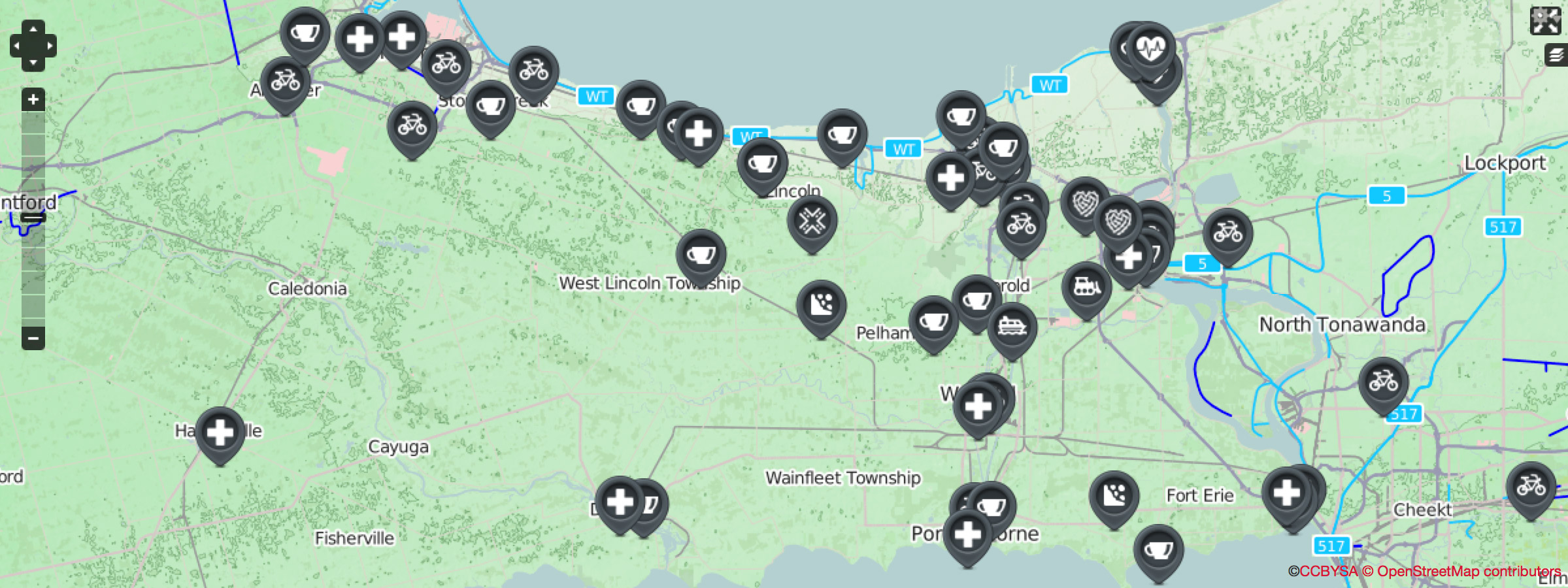

Attention APLVNCC Members! A new page, The Road Map, has been added to the "Cycling" section of the website.
The idea behind "The Road Map" was conceived after running into numerous gravel farm roads and pothole-ridden roads along our routes on group rides. To aid in developing future pre-defined routes and to help in avoiding such hazards like Road Construction, Gravel Surface Roads, and other road avoidance, you can now view markers on the map indicating these dangers.
In addition to showcasing hazards, the map has blossomed to also display other helpful locations that can aid in planning your route. Other map markers include: Bike Shops, Bike Repair Shops, popular Coffee Stops & Halfway Points, Ferry Services, First-Aid & Hospitals, and other Ride Meet & Meeting locations. It's always a good idea to know your surroundings while on your route in case you run into trouble on your bike.
To make viewing the map easier, you can toggle the "Fullscreen" button in the top-right corner of the map. Below the "Fullscreen" button is another icon that allows you to adjust the "Base Layer" and "Overlays". The "Base Layer" is the map image. By default, it is set to use the Open Street Map (OSM) Cycling Map which when you zoom in shows intricate bike paths. If you prefer another mapping service, Google Maps and MapQuest is also available. The "Overlays" option allows you to toggle between showing and hiding different Marker Types (ie. Avoidances, Bike Repair Shops, Bike Shops, Coffee Shops, etc.) on the map. This feature is extremely useful in de-cluttering the map and narrowing locations by certain marker types. You can also click each marker to bring up a popup that has more detail regarding the marker location.
If you know of any new hazards to avoid or other locations that you think would be useful to show on The Road Map, please feel free to suggest them using the Contact Form. Make sure to select "Website Feedback" for the Category of your contact message. Please provide as much detail as possible, such as, the intersections where the avoidance begins and ends, road surface, construction start and end date/time, etc. If any of the current markers need updating, please let us know.
Commenting is only open to Club Members